
Images With GPS On GoogleMaps Wordpress Plugin - Rating, Reviews, Demo & Download
Plugin Description
Images with GPS on Google Maps displays your photos on a Google Maps map using GPS or without GPS Geotags. Add your own Geo-Tags to your pictures.
To show more about ‘Images with GPS on GoogleMaps’ visit this page at travel-logbuch.com
Feedback
- I am open for your suggestions and feedback – Just send it in
Localization
- English (default) – always included
- German – always included
- .pot file (
gm.pot) for translators is also always included 🙂 - Your translation? – Just send it in
Translations
- English
-
German: Deutsch – Standard
-
Note:* All my plugins are localized/ translateable by default. This is very important for all users worldwide. So please contribute your language to the plugin to make it even more useful. For translating I recommend the awesome “Codestyling Localization” plugin and for validating the “Poedit Editor”.
Additional Documentation
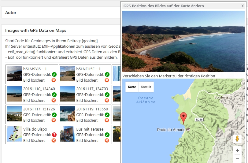
Add image to page/site
To insert images of other pages or sites into the current Geo Image:
1. open a contribution in the backend
2. scroll to the “Images with GPS Data on Maps” section
3. click the Add Files button
4. select an image or add an image
5. click button “Insert into page
6. click the “Refresh” button in the “Images with GPS Data on Maps” section
7. possibly add manual GPS data to the image if none are available (visible with the red ? behind GPS data edit)
8. having fun if it worked.
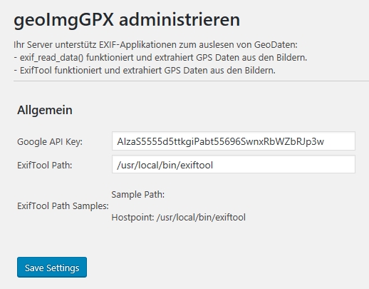
Screenshots
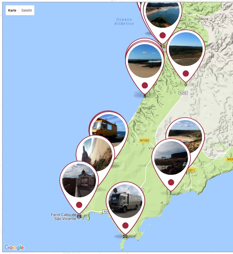

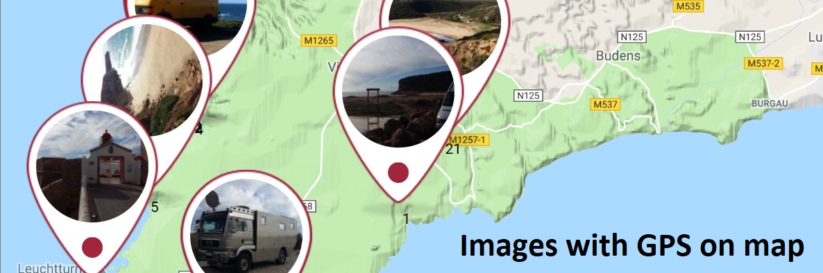
screenshot-0.jpg Frontend GoogleMaps

screenshot-00.jpg Click on marker to show the big image
screenshot-1.jpg Add Images to the page or post

screenshot-2.jpg Image overview
screenshot-3.jpg Drag and drop the marker to the right position on GoogleMaps