Papatto Clickable Image Map Wordpress Plugin - Rating, Reviews, Demo & Download

Plugin Description
Papatto Clickable Image Map is a standalone link-based clickable map plugin for WordPress. Choose an image from the Media Library, draw rectangle, ellipse, and polygon areas, then publish the clickable map with a shortcode.
No artificial limit is imposed on the number of maps or areas.
Each area can have a label, a link, and an option to open that link in a new tab. To finish a polygon, click its starting point after placing at least three points.
The front-end image and its SVG area overlay scale together for responsive display. The plugin creates, edits, and displays standalone link-based clickable maps inside WordPress without making external license requests.
Screenshots
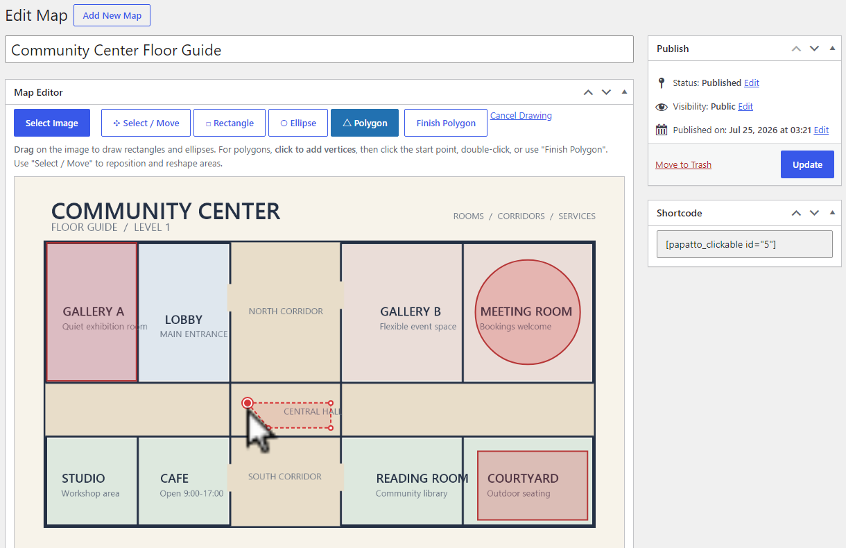
The editor closing a polygon by clicking its starting point.
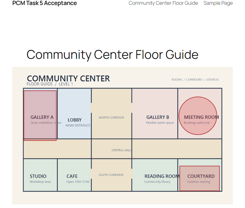
A responsive standalone link-based clickable map on the front end.